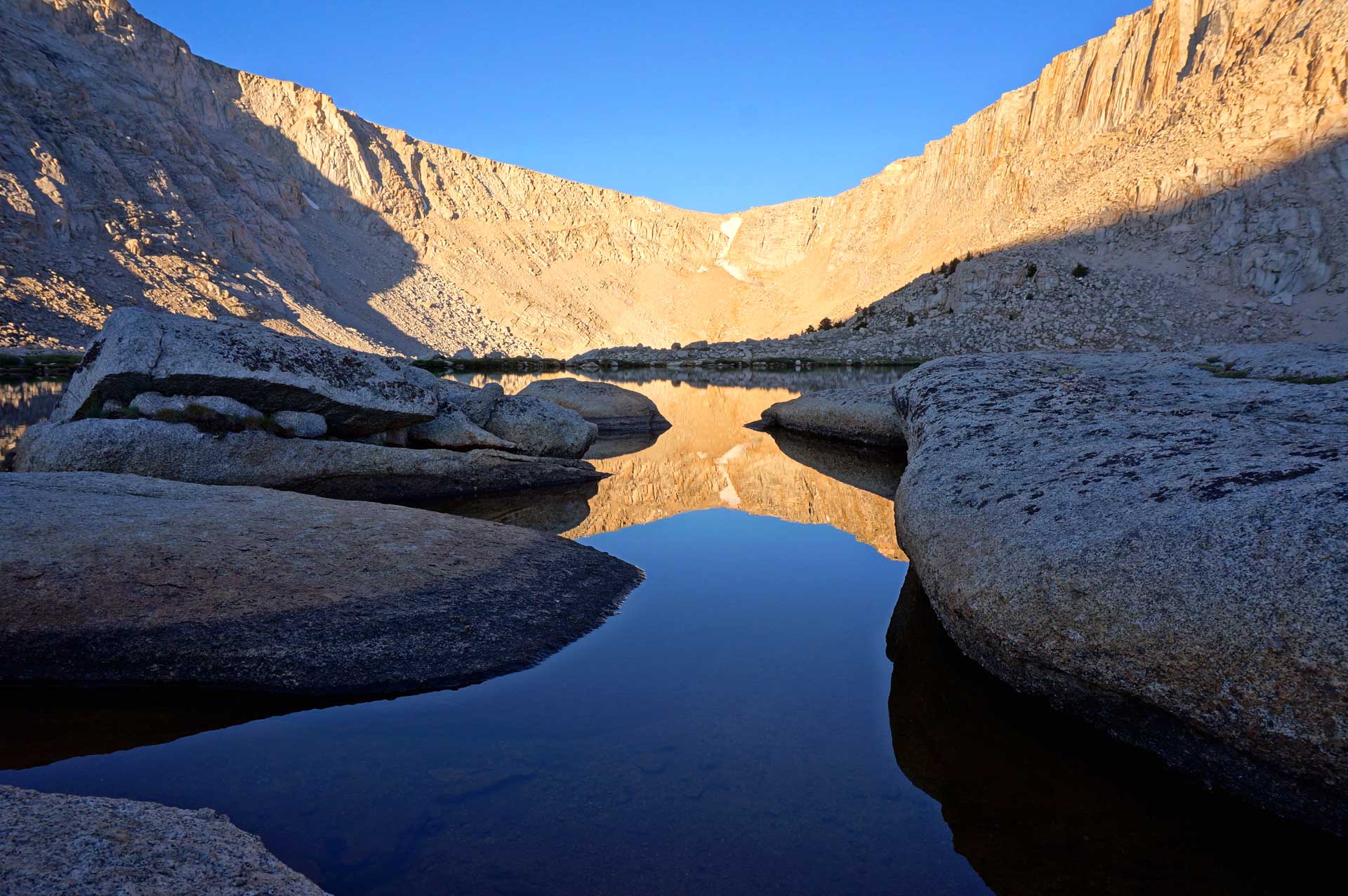
Old Army Pass above Cottonwood Lake #4
John Muir Wilderness is one of the most expansive and breathtaking wilderness areas in the entire Sierra Nevada range. It contains Mt Whitney, the highest peak in the lower 48, as well as 58 peaks over 13,000 ft. It covers 653,000 acres and spans both the Inyo and Sierra National Forests. The southern portion is narrow, and contains the eastern escarpment of the highest peaks of the Sierra Nevada. The northern portion widens out from Lake Sabrina westward and brackets the northern section of Kings Canyon National Park, and continues north to Devils Postpile National Monument (near Mammoth Lakes).
It borders the Golden Trout Wilderness to the south, both Sequoia and Kings Canyon National Parks to the west, as well as the Ansel Adams Wilderness to the northwest. Combined these areas make up the largest road-less area in the continental US. Not a single road crosses the Sierra Nevada range between Sherman Pass Rd to the south, and Tioga Pass Rd (Hwy 120) to the north, a span of at least 145 miles! We offer two water-proof maps that cover the John Muir Wilderness area.
Permits are required for all overnight stays, and are avail from either Inyo or Sierra National Forest depending on where you begin your trip. See our detailed Sierra Wilderness Permit Page.

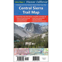
We offer the Southern Sierra and Central Sierra Trail Maps to help you find and explore the John Muir Wilderness area.
Trailheads
An amazing list of trailheads.
Listed from South to North
EASTSIDE ——-
Cottonwood Lakes (10,140′)
Whitney Portal (8320′)
Shepherds Pass (6290′)
Onion Valley (9200′)
Baxter Pass (6025′)
Sawmill Pass (4610′)
Taboose Pass (5450′)
Red Lake (6630′)
Birch Lake (6550′)
Big Pine Creek (7675′)
Bishop Pass (9830′)
Sabrina Basin (9090′)
Piute Pass (9350′)
Pine Creek Pass (7425′)
Little Lakes Valley (10,225′)
Mono Pass (10,225′)
Hilton Lakes (9400′)
McGee Pass (7865′)
Duck Pass (9110′)
PCT at Reds Meadow (7705′)
WESTSIDE——-
Three Springs (6720′)
Woodchuck (6850′)
Maxson (8110′)
Florence Trailhead (7355′)
Crater Lake (7355′)
Bear Creek (7395′)
Campgrounds
So many campgrounds, so little time.
Listed from South to North
EASTSIDE ——-
Cottonwood Lakes (10,140′)
Lone Pine (5855′)
Whitney Portal (7885′)
Grays Meadow (5880′)
Onion Valley (9210′)
Taboose Creek (3925′)
Sage Flat (7350′)
Upper Sage Flat (7500′)
Big Pine Creek (7750′)
Willow (9075′)
Sabrina (8975′)
Mountain Glen (8550′)
North Lake (9340′)
Bishop Park (8310′)
Mosquito Flat (10,240′)
Rock Creek Lake (9720′)
McGee Creek (7550′)
Coldwater (9085′)
Reds Meadow (7610′)
WESTSIDE ——-
Lily Pad (6560′)
Marmot Rock (8200′)
Jackass Meadow (7200′)
Mono Hot Springs (6550′)
Mono Creek (7425′)
Vermillion (7700′)
-
 Central Sierra Trail Map$11.95
-
 Southern Sierra Trail Map$11.95
Transportation:
- A link to the Reds Meadow Shuttle from Mammoth Mountain (running mid-June to mid-September)
- Yosemite Area Rapid Transit in the Mammoth area….YARTS
- A Sierra Nevada Shuttles page — from climber.org
- Private trailhead transfer — from MAWS
- Another private trailhead transfer — from Sierra Shuttle Service
-
 San Diego County Trail Map$11.95
 -
Southern Sierra Trail Map$11.95
-
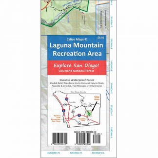 Mt. Laguna Trail Map$6.95
 -
Central Sierra Trail Map$11.95
-
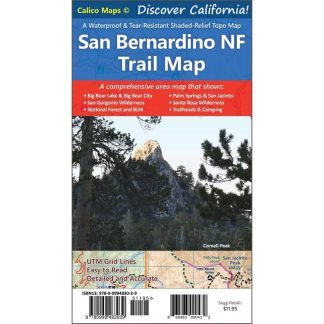 San Bernardino National Forest Trail Map$11.95