Mt Laguna, San Diego County, early fall colors
Waterproof Trail Maps
Paper maps in this day and age…? Absolutely! There is still no better way to get an overview of an area, while still being able to study the fine details. Paper maps remain tried and true, and should be an essential item in everyone’s pack.
Launched in 2017, Calico Maps is a San Diego, California based cartography company specializing in durable waterproof paper maps.
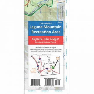
Our first project was the Laguna Mountain Recreation Area (Mt Laguna Trail Map) in the eastern part of San Diego County. The map is printed on durable water-proof paper, and is the most accurate and detailed map of the area. It was meticulously researched and much of the area was walked on foot to verify the important details.

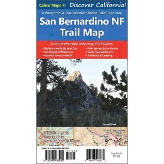
This map provides great coverage on the National Forest north of CA-38, which is missing from other topo maps of the San Gorgonio. This map's forest road color-coding is excellent, and much more useful than the almost-unusable Forest Service pdf.


Easy to follow the trails. One suggestion would be to outline the contour lines more prominently so elevation differences can be more visible easily seen. Otherwise, a great and useful map!